VECTORWORKS LANDMARK
right tools for your every project,
from 2D design to 3D modelling to various analyses.
AN ALL-STAGES SOFTWARE
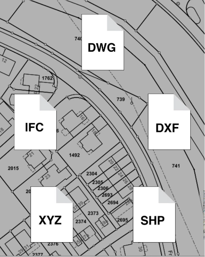
Strong fundamentals are essential in landscape planning. Vectorworks Landmark provides robust software for this purpose: Integration of Geographic Information Systems (GIS), accurate contour lines and curves, clear establishment of reference sources, and proficient handling of coordinates establish a solid groundwork.
Zero points enable precise positioning, the tree inventory streamlines tree management, and template utilization ensures efficient workflow.
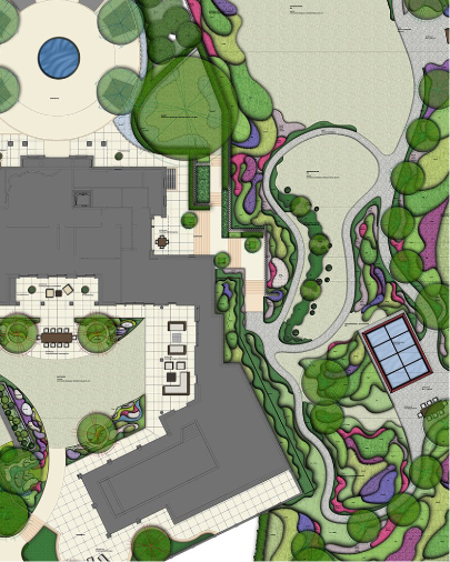
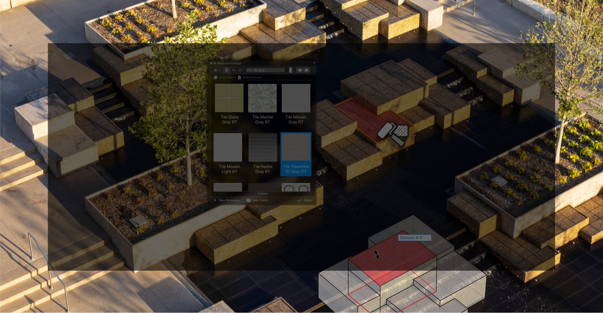
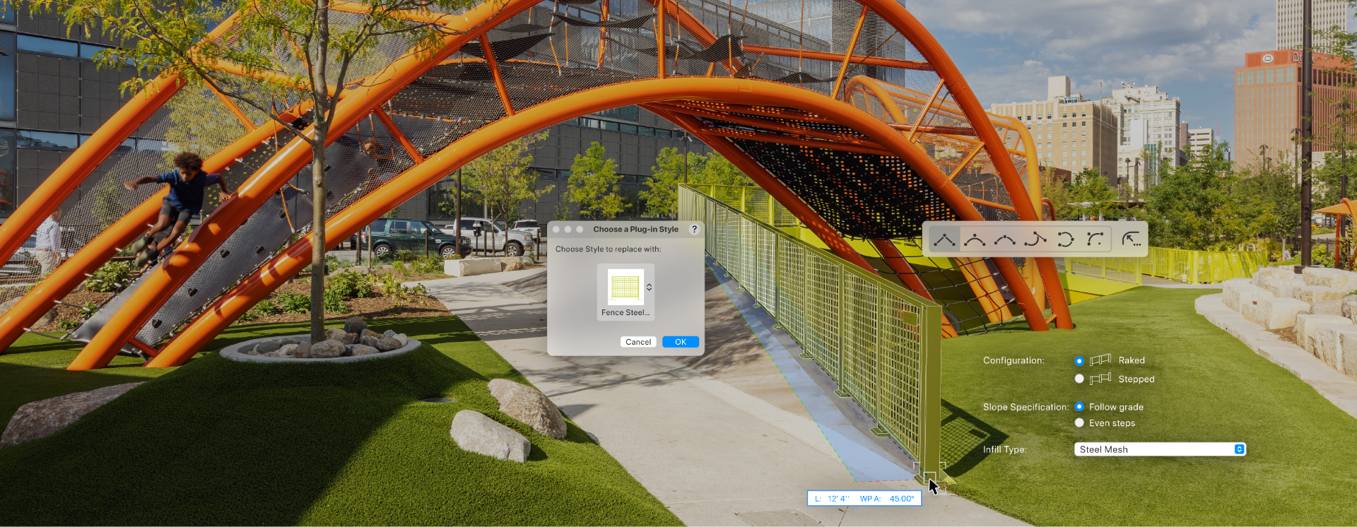
Give your designs vitality by converting them into smart objects like outdoor amenities, landscape zones, and plantings. Vectorworks Landmark seamlessly leads your projects through diverse levels of detail, from 2D conceptual sketches to 3D site modelling.
Throughout, the flexibility for variations remains intact. Work effortlessly with conceptual objects without altering them. Independent variations enable you to progressively enhance your designs with more precise components until you're prepared to specify your materials.
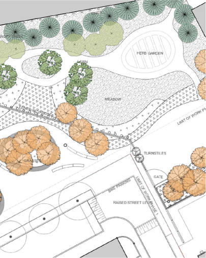
Enhance the presentation of your designs with Landmark. Capture data, create cost and material lists, perform calculations, and seamlessly exchange data with other spreadsheet programs and databases.
In Vectorworks Landmark, data visualisation guarantees clear communication, while precise dimensioning tools aid in conducting accurate measurements.
The Vectorworks BIM features seamlessly interconnect your drawings, details, models, and schedules, ensuring changes are reflected universally.
Additionally, its versatile import/export functions and support for open BIM and IFC facilitate easy collaboration with partners using different applications.
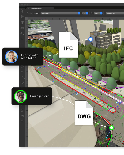
Ensure smooth collaboration with leading systems, thanks to the robust import/export features and compatibility with openBIM, IFC, DWG, PDF, and direct links to AutoCAD®, Revit®, SketchUp®, and Rhino®.
Utilise diverse dynamic interfaces for direct exchange of bill of quantities and quantities with common estimation programs, while the XPlan interface facilitates lossless exchange of urban development, regional planning, and landscape plans.
AN ALL-STAGES SOFTWARE

Strong fundamentals are essential in landscape planning. Vectorworks Landmark provides robust software for this purpose: Integration of Geographic Information Systems (GIS), accurate contour lines and curves, clear establishment of reference sources, and proficient handling of coordinates establish a solid groundwork.
Zero points enable precise positioning, the tree inventory streamlines tree management, and template utilization ensures efficient workflow.

Give your designs vitality by converting them into smart objects like outdoor amenities, landscape zones, and plantings. Vectorworks Landmark seamlessly leads your projects through diverse levels of detail, from 2D conceptual sketches to 3D site modelling.
Throughout, the flexibility for variations remains intact. Work effortlessly with conceptual objects without altering them. Independent variations enable you to progressively enhance your designs with more precise components until you're prepared to specify your materials.

Enhance the presentation of your designs with Landmark. Capture data, create cost and material lists, perform calculations, and seamlessly exchange data with other spreadsheet programs and databases.
In Vectorworks Landmark, data visualisation guarantees clear communication, while precise dimensioning tools aid in conducting accurate measurements.
The Vectorworks BIM features seamlessly interconnect your drawings, details, models, and schedules, ensuring changes are reflected universally.
Additionally, its versatile import/export functions and support for open BIM and IFC facilitate easy collaboration with partners using different applications.

Ensure smooth collaboration with leading systems, thanks to the robust import/export features and compatibility with openBIM, IFC, DWG, PDF, and direct links to AutoCAD®, Revit®, SketchUp®, and Rhino®.
Utilise diverse dynamic interfaces for direct exchange of bill of quantities and quantities with common estimation programs, while the XPlan interface facilitates lossless exchange of urban development, regional planning, and landscape plans.


into your design process.

